
Product Description
Broadband Fabric Location Data Suite
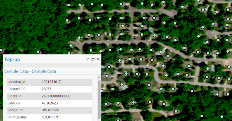
- Verified Accuracy – Coordinates, addresses, FCC eligible and active Location IDs, building types, units and more.
- GIS & SQL Ready – Optimized for data and geospatial analysis, plus easy data integration.
- Trusted by Experts – Used by federal agencies, state governments, and 3,000+ organizations.
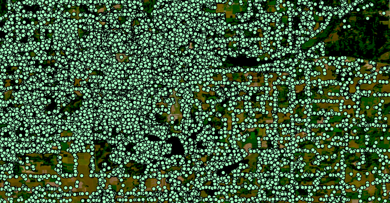
The Broadband Fabric Location Data Suite is a nationwide address-level location dataset designed by CostQuest's broadband experts to reliably guide broadband market analysis, strategic planning, deployment, sales, marketing, operations, reporting, and compliance. The Fabric consists of over 115 million Broadband Serviceable Locations (BSLs) nationwide, including residential, business, and multi-dwelling unit structures. Each location is identified at the rooftop-level, and includes coordinates, addresses, building types, unit counts, land use classifications, and unique Fabric Location IDs for easy integration with other datasets and systems.
This location data schema aligns with the National Broadband Serviceable Location Fabric, the foundational data supporting the FCC’s Broadband Data Collection (BDC), National Broadband Map, NTIA’s BEAD, and other federal broadband funding initiatives.
This Dataset is optimized for use in GIS platforms, network planning software, SQL databases, and analytical tools, offering the foundational intelligence required to efficiently inform broadband program strategies and operations with confidence. Data is available for all U.S. counties, states, and territories.